
http://bolivianing.com/wp-content/uploads/2013/10/bolivianing-isla_del_sol-1024x676.jpg
http://bolivianing.com/wp-content/uploads/2013/10/bolivianing-Isla_Chelleca.jpg
http://bolivianing.com/wp-content/uploads/2013/10/bolivianing-isla-de-la-luna-1024x768.jpg
http://bolivianing.com/wp-content/uploads/2013/10/bolivianing-isla-de-panza.png
http://bolivianing.com/wp-content/uploads/2013/10/bolivianing-isla-de-pescadores.jpg
http://bolivianing.com/wp-content/uploads/2013/10/bolivianing-san-simon.jpg
http://bolivianing.com/wp-content/uploads/2013/10/Rio_itenez.jpg
http://bolivianing.com/wp-content/uploads/2013/10/bolivianing-taquiri.jpg
http://bolivianing.com/wp-content/uploads/2013/10/bolivianing-suriqui.jpg
http://bolivianing.com/wp-content/uploads/2013/10/pariti.png
http://bolivianing.com/wp-content/uploads/2013/10/isla-sol.png
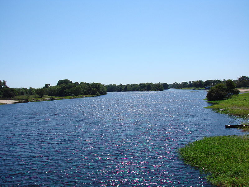
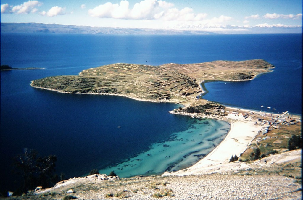
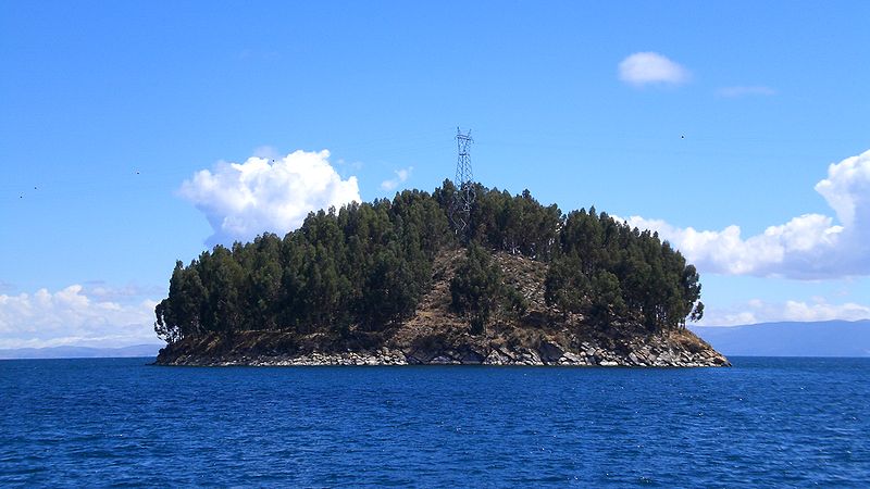
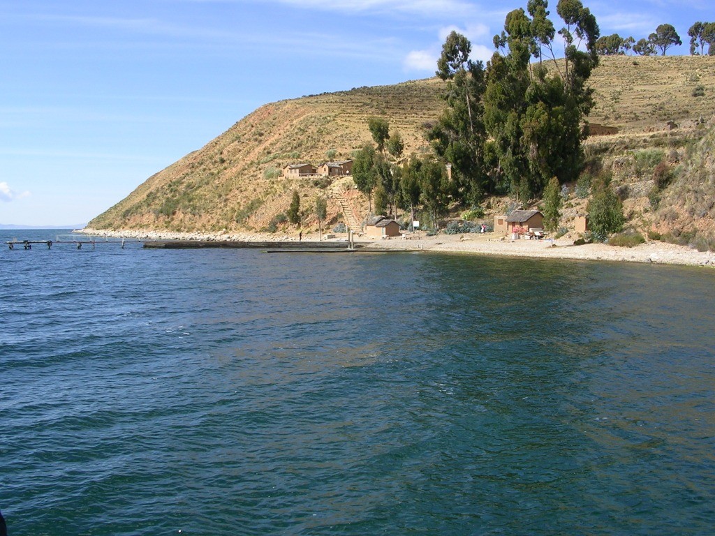
Swampy and inaccessible: Big Island. The river Iténez (for Bolivian) y Guapore (for Brazilian) represents the natural border between the two countries over 970 km. In this river, an island in the department of Beni is a tourist attraction as a very swampy area and not accessible all year durente, is not available all year, only in dry weather, which is between the months of June to December